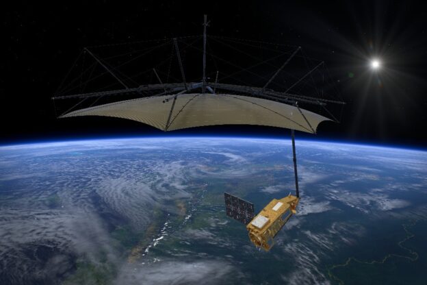
A satellite developed by British academics and engineers is set to become the first in the world to measure the condition of the Earth’s forests in 3D from space.
Go to Source
Author: UK Space Agency
Go to Source
Author: UK Space Agency