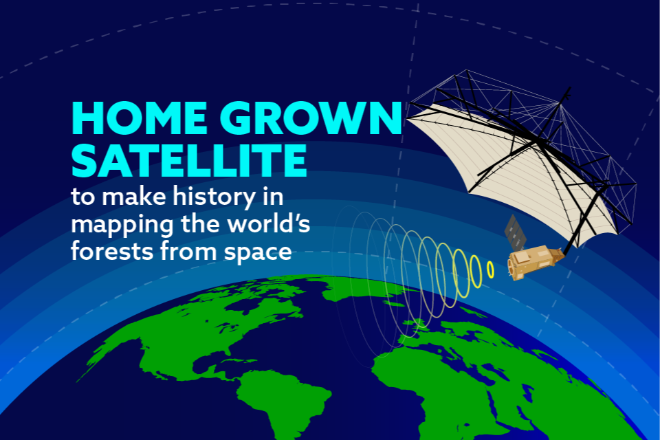
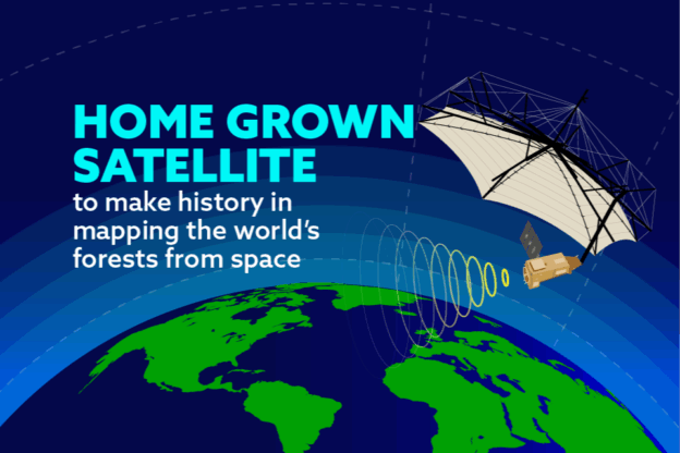
Satellite developed by British academics and engineers set to become the first in the world to measure condition of the Earth’s forests from space.
Go to Source
Author: Department for Science, Innovation and Technology
Go to Source
Author: Department for Science, Innovation and Technology